Street Stroll - How?
The Lowestoft Old and Now High Street Stroll
Creating the Stroll is technically quite difficult, and we use several different pieces of software and some specific coding to make it work.
The basic idea is to reproduce a walk along Lowestoft's Historic High Street. Simples, eh.. We wanted to show it as it is, and simultaneously include historical information about the buildings. ( WEST side, EAST side, more )
Each building was photographed. We had to make sure the images related to each other– by position, and by scale. Getting the photos was relatively easy – we took them, or we used ones we already had.
Linking them up, to scale, to position – that's harder.
We then researched the buildings, asked local historians, or used information from books, and included little biographies of the houses.
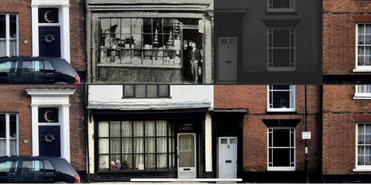
Then we decided to show 'old' next to 'now'. So now we had to find old pictures of the buildings. And make them fit the contemporary images. By 'fit' we mean that – on screen – the images accurately reflect each other by scale and position.
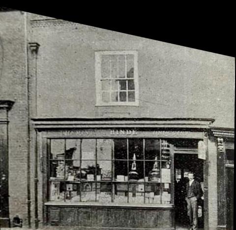
This is a difficult task. Front-on images are hard to come by. So we used some software that took an angled shot and tried to re-make it so it was front on (eg 31 High Street). This works. To a degree. But it does sometimes create some obvious distortion.
Now we're into areas of accuracy, authority, authenticity. Not just the text – that's hard enough – but the location. We're connecting each image to a physical place, on a map. – via latitude and longitude. The problems are multiplying.
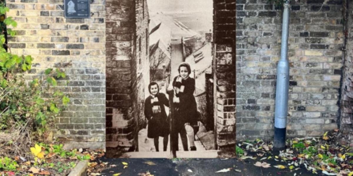
So, to try to accurately reconcile the image with the location we now find we're having to join pictures from different times (eg Mariners Score). And this is why you sometimes find composite images of colour and black and white, of old and now, turn up on the High Street Stroll.
It's our striving to be digitally, historically and visually honest and accurate. That’s why we include the original image next to the adapted image.


Add new comment