
HERITAGE
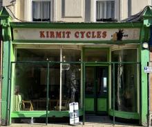
A new exciting small venue - always a warm welcome
Now open on Saturdays **
Available at Archive.org
Also has a small reference library of local interest books. Please consider donating yours (list below)
Added: 22 September, 2023

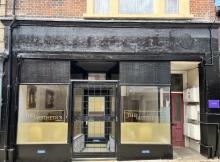
A beautiful Aesthetic Clinic in Lowestoft, Suffolk. We offer a wide range of services to give you the elegant and fabulous look that you deserve.
Added: 22 September, 2023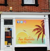
LADIA (Lowestoft & District Independent Archive) is a Lowestoft-based, charitable organisation that has been established to provide a locally-accessible archive of historical documents relating to the heritage of Lowestoft and its environs.
Open Wednesday and Saturdays
Added: 22 September, 2023

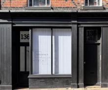
“a flexible co-working salon” that has been designed for freelance professionals.
Added: 22 September, 2023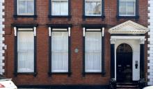
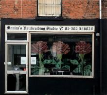
Skin specialist and facial therapist - Georgia and her team look forward to welcoming you
Added: 22 September, 2023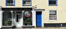
Thai massage, which originated in India, has been around for over 2,500 years. Originally regarded as a healing art, traditional Thai massage includes influences from both Ayurvedic and traditional Chinese medicine.
Unlike typical Western-type massages, it doesn’t involve lying on a massage bed while a massage therapist applies oil to your body and kneads your muscles and pressure points. Phone: 07513 037855
Added: 22 September, 2023