1300s
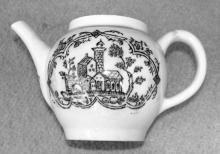
The foundation called the Good Cross Chapel is a lesser-known part of Lowestoft’s religious history, which once stood in the extreme south-eastern corner of the parish near the junction of the present-day Suffolk Road with Battery Green Road – possibly in the location of what is now the Fish Market entrance.
Added: 15 September, 2025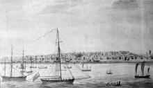
Formal recognition of Lowestoft’s status as a trading port might never have been given in 1679, had the town not managed to free itself from Great Yarmouth’s claim to control all maritime traffic in local waters – especially that connected with the herring trade. Articles relating to this long-running and contentious issue are to be found elsewhere in LO&N’s History pages (The Lothingland-Lowestoft-GreatYarnouth Disputes (Parts 1 & 2) and a summative comment can be added to this.
Added: 1 June, 2025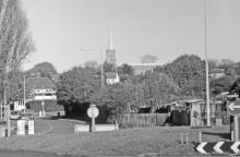
The national tax levied in 1327 to raise revenue for the Crown came at a troubled time for the country, for this was the year in which Edward II was deposed by his wife, Isabella, and her lover, Roger Mortimer, Earl of March – ostensibly, in favour of the future Edward III, who was a fourteen-year-old minor. It was also a time of conflict with Scotland, with an army from north of the border making an incursion into England and engaging with English forces near Stanhope, in County Durham.
Added: 2 September, 2024
“All Because of the Herring”
The first part of this extended article (Suffolk Review, Spring 2020) dealt primarily with the commercial and civic contention between Great Yarmouth and its nearest neighbours on the Suffolk side of the River Yare: Gorleston and Little Yarmouth.
Added: 13 April, 2024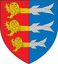
“All Because of the Herring”
Great Yarmouth’s disputes with its near-neighbours in Suffolk, during the Late Medieval and Early Modern periods, are generally well known in outline – if not in detail. The following series of notes (summarised, by the writer, from the sources cited) relates to the long-running conflict between the Norfolk borough and its Suffolk neighbours, regarding the former’s legally granted ommercial rights and its control of the local herring-trade.
Added: 13 April, 2024
Recorded on Suffolk Heritage Explorer (Internet) as Monument record LWT 368.
Centring on OS 1:25000 Series Map reference TM59 539939.
Added: 18 March, 2024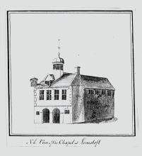
Produced to assist with the building’s regeneration and future uses
1. The Lowestoft community relocated itself (onto what is now the High Street area of a much expanded town) from what was probably its original location about a mile to the south-west, in an area now occupied by a large municipal cemetery between Normanston Drive and Rotterdam Road.
Added: 19 February, 2024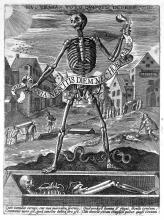
The Black Death arrived in Lowestoft devastating the population.The national accepted average for deaths in England is somewhere around 60%. Info on Lowestoft is very limited.
Added: 23 September, 2023