
1500s
Provision of credit in the community
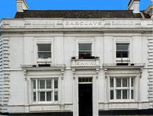
The importance of scriveners as community bankers in London during the second half of the 17th century has been noted, as has their role as providers of funds elsewhere. Nor has the function of the goldsmith escaped attention. Lowestoft, being a town of modest size, had few named scriveners among its inhabitants (no more than six or seven have been identified between 1560 and 1730) and most of them had other occupations.
Added: 20 November, 2025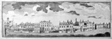
Inns
The configuration of roads and the importance of land transport have always been major influences on the development of towns and their inns. Large yards were necessary for stabling horses, and for standing carts and carriages; buildings were required for storing hay and other forage; and provision had to be made for watering the animals. Adequate accommodation was also needed for those people making overnight stops or staying in a place for longer.
Added: 18 October, 2025
Lowestoft Houses – 16th-18th Century
The most commonly mentioned items of interior decoration during the later part of the 16th century, in the houses of the merchants and the better-off tradespeople and craftsmen, are stained or painted canvas cloths. These served to decorate the walls on which they hung and they probably also served as draught-inhibitors. They were present in bedchambers, as well as in halls and parlours, but no indication is given as to whether they had scenes depicted upon them or whether they were simply covered in patterns.
Added: 5 October, 2025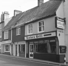
Construction details
In May 1545, the Duke of Norfolk was carrying out a review of coastal defences between Great Yarmouth and Orford because of a perceived invasion threat from France. Having commented on the hostile landing capacity of both anchorage and beach at Lowestoft, as well as on the positioning of the three small gun batteries, he made the following remark concerning the place itself: “The town is as pretty a town as I know any few on the sea coasts, and as thrifty and honest people in the same, and right well builded.” – ref.
Added: 24 September, 2025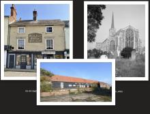
In some ways, buildings are every bit as much historical documents as written sources and can inform the observer of many aspects of human activity in days gone by. Where they have survived in original form, they have much to say of former economic and social conditions – be they domestic, ecclesiastical or industrial in nature. And, if altered and converted at different times, there is just as much to be learned from them. Let us take three of Lowestoft’s buildings, covering these three categories, and consider each one of them in turn within its context.
Added: 18 September, 2025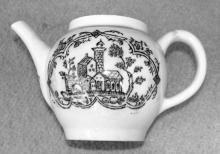
The foundation called the Good Cross Chapel is a lesser-known part of Lowestoft’s religious history, which once stood in the extreme south-eastern corner of the parish near the junction of the present-day Suffolk Road with Battery Green Road – possibly in the location of what is now the Fish Market entrance.
Added: 15 September, 2025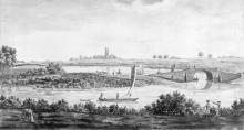
The large expanse of water on Lowestoft parish’s southern boundary provided a freshwater fishery for coarse fish, which had nothing to do with the town’s commercial sea-fishing activities. The mere was always referred to as the Great Water or the Fresh Water during the 16th,17th and 18th centuries (and probably before that, as well) – later becoming known as Lake Lothing during the earlier part of the 19th.
Added: 1 August, 2025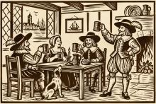
1. Vessels returning from the 1533 Iceland cod fishery voyage: 22 Dunwich, 7 Lowestoft, 7 Orwell Haven [Ipswich] and 1 Orford – making 37 in all. Source: National Archives (Kew), SP 1/80 f.65v.
Lowestoft details
Added: 15 July, 2025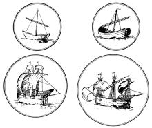
Introduction
First of all, reference has to be made to the geographical advantages of Lowestoft’s position on the East Coast. A substantial number of its male inhabitants made a living from going to sea, while others remained on shore and earned money from processing catches of fish and handling other cargoes. A select minority of these latter even grew wealthy through maritime activity, because they were the people who owned the vessels which caught herrings and cod or which carried merchandise of different kinds.
Added: 13 July, 2025
Formal recognition of Lowestoft’s status as a trading port might never have been given in 1679, had the town not managed to free itself from Great Yarmouth’s claim to control all maritime traffic in local waters – especially that connected with the herring trade. Articles relating to this long-running and contentious issue are to be found elsewhere in LO&N’s History pages (The Lothingland-Lowestoft-GreatYarnouth Disputes (Parts 1 & 2) and a summative comment can be added to this.
Added: 1 June, 2025