
early modern
The top end of Rant Score – with the road still bearing the name of a family which held all the land between what is now 80 High Street and the score itself, from the end of the 16th century until the middle of the 17th. Looking at both road signs, at the top - with the smaller blue one advising motorists to “Beware oncoming Cyclists” - it is hard to imagine how cars going down the slope would ever be met by cyclists “tanking up” that gradient at any real turn of speed!
Added: 2 April, 2024
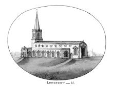
Some idea of the vulnerability of the Lothingland coastline during times of trouble may be had from an incident which occurred during the Second Dutch War (1665-67). The Lowestoft parish registers have this entry, made on 7 February 1666 [1665, in the old-style calendar]: “Maijer Thomas Willd of Yarmouth, was kild at Corton by a musket shot that went into wessan”. The grave-slab of this man is set into the floor of the middle aisle of St. Margaret’s Church, not far from the chancel screen and next to that of his parents, John and Mary Wild(e).
Added: 1 April, 2024
A constant matter of concern during the reign of Henry VIII (1509-47) was that of foreign invasion - particularly by France with the aid of its ally, Scotland. In 1535, a national audit of England’s defensive ability against foreign aggression was ordered by Henry VIII. With there being no regular Army of any kind at the time, lists had to be made of adult males able to fight in all areas of the country – and it was all done, hundred by hundred, to total up the numbers for every shire.
Added: 31 March, 2024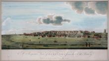
The term denes is an earlier version of dunes. It derives from OE dūn, meaning “a hill”, and became applied to coastal sandhills during the late medieval period – being first identified in a printed source dating from the year 1523. In Lowestoft’s case, any undulating effect may never have been very great as a result of tidal action and the effect of the wind, and the progressive development of scrub-growth of one kind and another would have moderated this even further.
Added: 21 February, 2024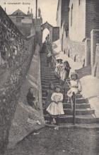
A good deal has been written about the scores over the years - not all of it accurate. What follows here is an account of these footways, working from north to south, and looking at them in both a topographical and historical context. The main sources used for the study are a Manor Roll of 1618 (which gives a complete account of landholding in the parish, together with location and tenancy stated) and a series of Manor Court minute books dating from 1582-85 and 1616-1756.
Added: 1 February, 2024
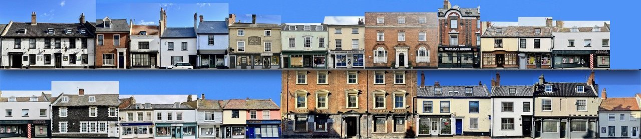

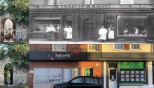
#LowestoftDaysOfChristmas 10th day.. FROM SWAN INN and CROMWELL's HQ to well loved shops in many guises. Nos. 41-42 High Street, as seen today, are replacement buildings for "The Swan" inn, which once occupied the site and served as one of Lowestoft's premier hostelries during the 16th and 17th centuries. It was where Oliver Cromwell stayed overnight on 14 March 1643/44, when he came to Lowestoft (from Cambridge) with a force of cavalry, having heard tell of a shipment of arms either entering or leaving the town (it has never been established which).
Added: 21 December, 2023